Mapping the World, Shaping the Future
Overview
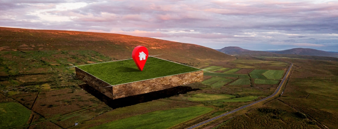
The B.Sc. GIS and Remote Sensing programme at FUTESI provides students with expertise in spatial data acquisition, analysis, and application. Students learn how to apply geospatial technologies in environmental management, urban planning, disaster response, and natural resource monitoring.
Programme Objectives
- Train students to use GIS and remote sensing technologies for spatial analysis and decision-making.
- Develop skills in cartography, geospatial data management, and environmental modelling.
- Equip students with hands-on experience using modern GIS software and remote sensing tools.
- Promote innovative applications of geospatial technologies in sustainable development and environmental sciences.
Career Opportunities
- GIS Analysts
- Remote Sensing Specialists
- Urban Planners
- Environmental Consultants
- Cartographers
- Disaster Management and Risk Analysts
- Geospatial Intelligence Officers
Key Features
- Practical training using leading GIS and Remote Sensing software (e.g., ArcGIS, QGIS, ERDAS Imagine)
- Fieldwork, drone mapping, and satellite imagery analysis
- Industry collaborations in environmental and urban sectors
- Focus on real-world applications like climate change monitoring and smart cities development
Admission Requirements
For detailed information on the general admission requirements, application guidelines, deadlines and required documents, please visit the Admissions page
How to Apply
To apply, visit the Undergraduates Admissions Portal.